The Peace Park of Mt. Sabotin (Sabotin Park Miru in Slovenian) is located a few kilometres north of Gorizia, an open-air museum on the border between Italy and Slovenia. The itinerary is a great opportunity to discover the second Austro-Hungarian defensive line conquered by the Second Italian Army on 06th August 1916, during the Sixth Battle of the Isonzo.
Mt. Sabotin (609m ASL) overlooks the plain of the Isonzo, the Collio and a section of the Isonzo Valley and is a key point to control Gorizia from atop, as testified by the strenuous defence of this town from this summit. Several assaults carried out by the Italian army during the first year of war failed indeed, involving a great number of casualties and means, until three battalions managed to drive the Dalmatian troops away with a spectacular blitzkrieg of less than one hour.
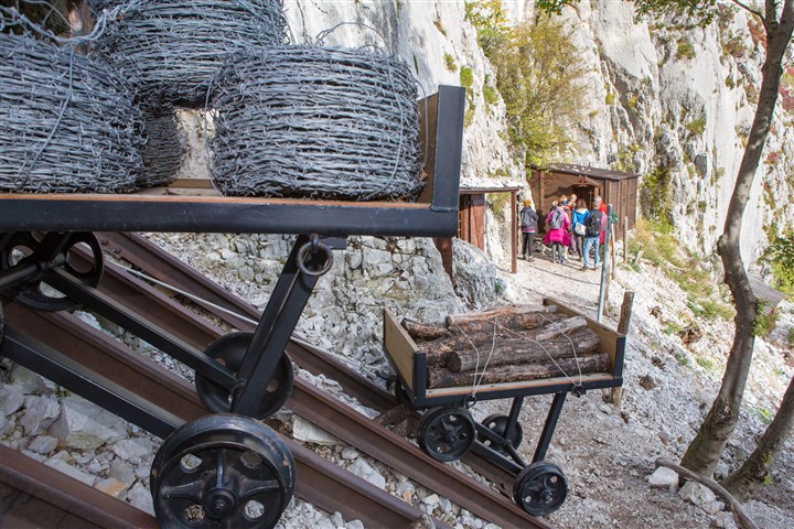
THE ROPEWAY REBUILT ON THE EAST SIDE OF MOUNT SABOTINO. IN THE BACKGROUND YOU CAN SEE THE SOLDIERS BARRACKS, THESE HAVE ALSO BEEN REBUILT
The starting point of this excursion is located in Slovenia, two kilometres east of the village of Gonjače, in the Municipality of Collio (Brda in Slovenian). You can reach it via road 402 from Nova Gorica or along the road running parallel to the Isonzo Valley leaving from Tolmin; you cannot miss it, as it is indicated by a stone pyramid at the start of a dirt road. From here, walk about 7 kilometres along a route dotted with remnants of the Great War (machine-gun pits, bomb craters), where you can also see a number of memorial stones and two of the three pyramids symbolizing the departure point of the Italian attacks to the summit during the Sixth Battle of the Isonzo.
At the end of the itinerary, you reach the cabin of Mt. Sabotin, which was declared a Sacred Area in 1922 (like Mt. San Michele). Today the building houses an information point, a restaurant and a small museum; it used to be the guardian's house until 1945, subsequently converted into a barrack by the guards on the Yugoslavian border. Several trails depart from this point (all clearly signalled): a path on the left leads to the Cave of the 8 guns in a few minutes; the trail behind the cabin instead heads to a multi-level extensive tunnel network, which used to connect to the former command and the village of the Austro-Hungarian garrison.
On the right of the cabin, another trail leads straight to the summit (609m ASL), from where you can enjoy wonderful views. Several entrenchments can be observed along the ridge; you can first reach the Cave of the 8th Italian Division and then descend to St. Valentine Hilltop (538m ASL), where a hermitage was built between 1500 and 1700. Today, interestingly, these remains are divided by the border, the church being located in Slovenia, the buildings and the farms in Italy.
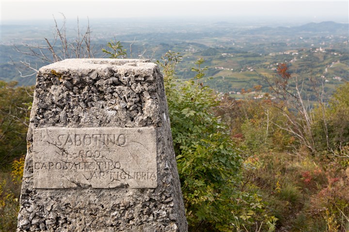
THE MEMORIAL AT HEIGHT 600 ALONG THE CREST OF THE SABOTINO, EXACTLY ON THE BORDER BETWEEN ITALY AND SLOVENIA. IN THE BACKGROUND, THE FRIULI COLLIO
IN ALTERNATIVE
For those who want to climb Mount Sabotino on foot, there are various possibilities. One of these is the starting point from the small town of Groppai, in the hills north of Gorizia. From the path that runs parallel to the "strada di Osimo" (Osimo road), you climb up following the old military road of Sabotino, then continue along a dirt road that meets the 5th bend. In short, you then reconnect with the previously described paved road that on the left leads to the Museum/Shelter in a ten-minute walk.


