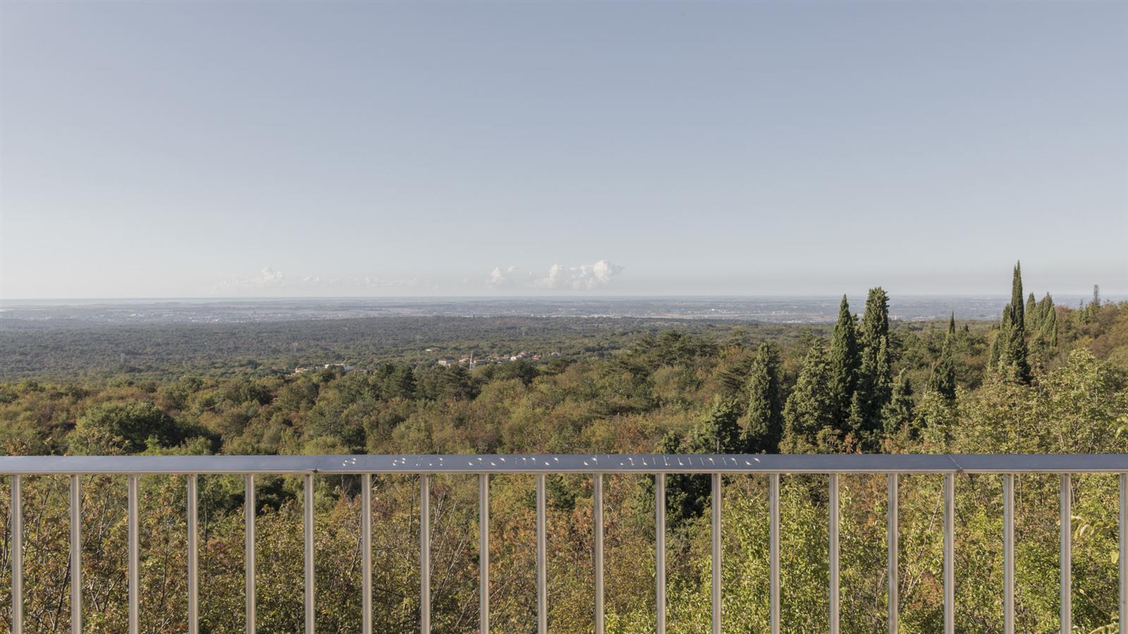


Stage that covers the northernmost Italian section of the battles on the Karst front, advancing from the plain up to one of the best-known peaks of the Great War.
An extremely rich route in important points, starting from the departure square - Piazza della Transalpina/Trg Evrope - to arrive at various open-air museums that mark a now lush and verdant territory. Among them, Monte San Michele/Debela griža is certainly one of the most famous mountains concerning the war front of the First World War in the Isontino area. On it, an important Open-Air Museum has been established collecting remains still clearly visible from the conflict as well as numerous monuments erected locally after the war and a wonderful multimedia museum. A further cultural contact will finally be given by the destination of this stage: San Martino del Carso, made famous by the poetry dedicated to it by the poet and soldier Giuseppe Ungaretti.
Derived from the technical difficulty and the stamina requirements.
In the Municipality of Savogna d'Isonzo/Sovodnje ob Soči, pay maximum attention near the bridge over the Vipacco/Vipava due to the lack of sidewalks.
In summer, pay attention to the high temperatures and possible medium-length stretches without shade.
Starting from Piazza della Transalpina/Trg Evrope, proceed into Italian territory until the Remembrance Park, then continue to the locality of Sant'Andrea/Štandrež and subsequently Savogna d’Isonzo. Upon reaching the foot of the Karst escarpment, cross the bridge over the Vipacco and ascend passing the Rubbia Castle, Lower Gabria/Dolenje Gabrje, and then Upper Gabria/Gorenje Gabrje until joining trail CAI 71 leading to San Michele del Carso/Vrh. From there, proceed towards the Monte Brestovec Historical Route. Following trail CAI 74, return to the village, and then by taking CAI 73, shortly reach the Monte San Michele Open-Air Museum. Continuing on the trail, shortly afterwards you reach the end of the stage at the village of San Martino del Carso, known for the poetry dedicated to it by Giuseppe Ungaretti and home to the Private Museum “Memories of the Great War”.
APT Public Transport
APT Gorizia G08 suburban line:
Gorizia/Gorica–Savogna d'Isonzo/Sovodnje ob Soči–San Martino del Carso/Martinščina
State Railways (Regional Train connecting Udine with Trieste/Trst)
Departure: Piazza della Transalpina/Trg Evrope
Arrival: Piazza della Fontana in San Martino del Carso/Martinščina
Trekking shoes and clothing, packed food and drinks, flashlight, trekking poles
Localization
Derived from the technical difficulty and the stamina requirements.

