The Defensive Line of the Upper Isonzo
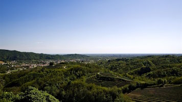
After the start of hostilities with the Austro-Hungarian Empire, the advance of Italian troops beyond the border brought the front line to the left bank of the Isonzo River, from Plezzo to Tolmino, through the Mount Nero area. To defend the front line, a system of trenches was designed along the right bank of the Isonzo, known as the army's defensive line, organized into two parallel lines: one ran from Mount Stol to Sabotino, while the other, the reinforcement line, consisted of two sections that met on Mount Cum. The first section descended from the cold point of Matajur to Pusno in the Judrio Valley, while the second followed the mountains on the right side of Judrio, from Zagradan Pass to Mount San Biagio. The construction proceeded poorly, so when the Austro-Hungarian and German troops attacked, the collapse of this sector led to the Caporetto disaster, forcing the Italian troops to retreat to the Piave River.
In the municipality of San Leonardo, the most evident testimony of World War I is the military road that leads from Solarie Pass to Castelmonte, following the mountains on the right bank of the Judrio River. On the Malinsce ridge, a small section of the defensive line is still in good condition. A walkway and two caves start from the road and, crossing the ridge, reach the trench dug on the crest, overlooking the Judrio Valley. In two other caves, one of which was never completed, there were machine gun positions.

Archive Comune di San Leonardo

Archive Comune di San Leonardo