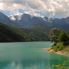
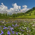
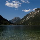
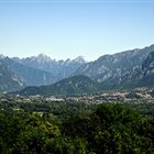
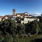
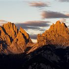
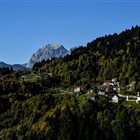
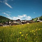
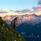
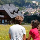
Thousand-year-old cultures, different linguistic strains, biodiversity and multifaceted territorial morphologies. Discover the peculiarities of the valleys, municipalities and areas of the mountains of Friuli Venezia Giulia
Discover the mountain Regions
Thousand-year-old cultures, different linguistic strains, biodiversity and multifaceted territorial morphologies. Discover the peculiarities of the valleys, municipalities and areas of the mountains of Friuli Venezia Giulia
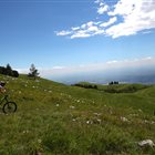
Summer or Winter, it doesn’t matter: skiers, pedestrians, hikers, bicycle lovers or who simply loves to enjoy a panoramic view, but without getting tired, will find open Ski lifts all over the year in the ski areas of FVG
Discover the Ski areas in Friuli Venezia Giulia
Summer or Winter, it doesn’t matter: skiers, pedestrians, hikers, bicycle lovers or who simply loves to enjoy a panoramic view, but without getting tired, will find open Ski lifts all over the year in the ski areas of FVG
Toprecommended route
Hiking trail
· Friuli Venezia Giulia
Responsible for this content Friuli Venezia Giulia
Photo: Azzurra Forti @babytrekking FVG, Azzurra Forti @babytrekking FVG
Selected alternatives for you
An easy walk through the villages of Mieli and Gracco, passing through the historic Bosco Bandito
easy
Distance 2.1 km
Duration0:45 h
Ascent100 m
Descent43 m
Highest point756 m
Lowest point656 m
The route starts inthe hamlet of Mieli and follows the ancient road that once connected the villages of Mieli and Gracco, now nestled within the picturesque Bosco Bandito. The route begins with a gentle descent to a small cluster of houses, then climbs again, offering pleasant views of the Degano Valley. It then continues on a slight incline through the woods, alternating between shaded stretches and brief panoramic clearings, until reaching the final climb that leads to Gracco. The walk passes through the Bosco Bandito, an ancient beech forest that has been protected since the days of the Venetian Republic, when logging was prohibited to preserve timber for the Republic of Venice. Today, this area represents a precious natural and historical heritage of Carnia. Thanks to its even terrain and gentle slope, the route is also suitable for families with strollers.
Author’s recommendation
We recommend bringing your own snacks and drinks
Author
PromoTurismoFVG Montagna
Responsible for this content
Friuli Venezia Giulia
Difficulty
T1easy
Overall difficulty
easy
Derived from the technical difficulty and the stamina requirements.
Once you reach the village of Mieli, walk through it toward Tualis. Just before leaving the village, there are a few free parking spots on the left. Leave your car there and continue walking (carefully) along the uphill road (toward Tualis) for about 100 meters to reach the start of the trail.
Rest stop
Tip
Nearby
Top Partner
Waypoint
Start point
End point
Low point
High point
Forecast
Today {low} to {high} and {precipitation} of {precipitation_type}
show {x} more
Photo
Video
Coordinates
DD
46.528295, 12.876825
DMS
46°31'41.9"N 12°52'36.6"E
UTM
33T 337171 5154937
w3w
///simplifying.dandruff.hits
Get there by train, car, bike, or on foot!
Equipment
Hiking Clothing
Localization
Parts of this content were machine translated from Italian.
Similar routes nearby
Loop of the Tarond and Crasulina lakes
Monte Crostis from Rifugio Chiadinas
The panoramas of Crostis, along ridges facing Coglians
Mount Tamai, Arvenis, and the mountain huts of Zoncolan
From Sella Zoncolan to Malga Meleit
Monte Talm from Piani di Vas
From Truia to Stavoli di Orias and Sopravalle
These suggestions were generated by our system
Difficulty
T1easy
Overall difficulty
easy
Derived from the technical difficulty and the stamina requirements.
Distance
2.1 km
Duration
0:45 h
Ascent
100 m
Descent
43 m
Highest point
756 m
Lowest point
656 m
Linear routeFamily-friendlyFloraDog-friendlySuitable for strollers
Statistics
Content
Show imagesHide images
Features
2D
3D
Maps and trails
Nothing selected - click and drag in the elevation profile to zoom