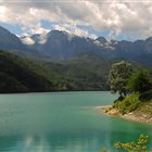
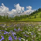
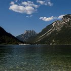
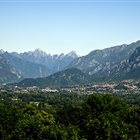
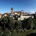
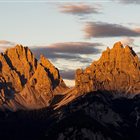
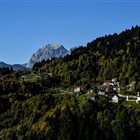
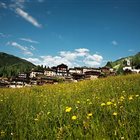
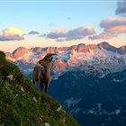
Thousand-year-old cultures, different linguistic strains, biodiversity and multifaceted territorial morphologies. Discover the peculiarities of the valleys, municipalities and areas of the mountains of Friuli Venezia Giulia
Discover the mountain Regions
Thousand-year-old cultures, different linguistic strains, biodiversity and multifaceted territorial morphologies. Discover the peculiarities of the valleys, municipalities and areas of the mountains of Friuli Venezia Giulia
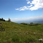
Summer or Winter, it doesn’t matter: skiers, pedestrians, hikers, bicycle lovers or who simply loves to enjoy a panoramic view, but without getting tired, will find open Ski lifts all over the year in the ski areas of FVG
Discover the Ski areas in Friuli Venezia Giulia
Summer or Winter, it doesn’t matter: skiers, pedestrians, hikers, bicycle lovers or who simply loves to enjoy a panoramic view, but without getting tired, will find open Ski lifts all over the year in the ski areas of FVG
Responsible for this content Friuli Venezia Giulia
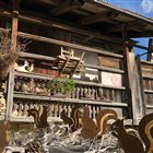
Votive Chapel of the Stations of the Cross
Photo: PromoTurismoFVG Montagna, Friuli Venezia Giulia
Selected alternatives for you
A historical and religious trail that winds through the ancient forest of Tarvisio and leads to Monte Santo di Lussari.
difficult
Distance 5.6 km
Duration2:30 h
Ascent927 m
Descent47 m
Highest point1,763 m
Lowest point836 m
The Pilgrim's Trail is a moderately difficult hike that starts at the Camporosso parking lot and ends at Mount Lussari. The trail climbs steadily to an elevation gain of 900 meters and runs largely through the ancient forest of Tarvisio, following the banks of the Rio Lussari. At the summit, you can admire the majesty of the Julian Alps, with the rock faces of Jof di Montasio, Jof Fuart, and Mangart.
The Pilgrim’s Trail is a route of historical and religious significance. The route is marked by a series of votive chapels representing the Stations of the Cross. Mount Lussari, in addition to being the final destination of the trail, is considered a place of worship and devotional pilgrimage, thanks to the presence of the Marian Shrine and the passage of numerous travelers undertaking the Cammino Celeste and the Romea Strata.
The descent follows the same route taken on the ascent or can be made via the cable car.
Author’s recommendation
There are several places to eat at the Borgo Lussari trailhead.
The destination is also accessible by gondola.
We recommend always checking the opening hours and access times on the Info impianti website.
Author
PromoTurismoFVG Montagna
Responsible for this content
Friuli Venezia Giulia
Difficulty
T2difficult
Overall difficulty
difficult
Derived from the technical difficulty and the stamina requirements.
Experience
Landscape
Highest point
1,763 m
Lowest point
836 m
Best time of year
Jan
Feb
Mar
Apr
May
Jun
Jul
Aug
Sep
Oct
Nov
Dec
Track types
Length
5.6 km
Show elevation profile
Safety information
We recommend bringing plenty of water.
Roadbook
From the parking lot on Via Lussari in Camporosso, continue on foot along the paved road. Once you reach the last few houses, take the CAI 613 trail, also known as the Sentiero del Pellegrino. From here, continue on the dirt trail along the forest road through the woods, with the Rio Lussari on your right. At the fork, continue straight ahead to reach the Malga di Lussari, or follow the trail on the right (CAI 613) that leads into the woods. You’ll pass through several wide switchbacks before reaching a crossroads, where you should take the road on the left that leads to the base of Monte Lussari.
Rest stop
Tip
Nearby
Top Partner
Waypoint
Start point
End point
Low point
High point
Forecast
Today {low} to {high} and {precipitation} of {precipitation_type}
show {x} more
Photo
Video
1. Kreuz 1. Bildstock 2. Bildstock am Weg Mount of Saint Lussari Gipfelkreuz des Monte Santo di Lussari Monte Lussari Rifugio Alpino Monte Lussari SANTUARIO DELLA MADONNA DEL LUSSARI
Directions
By car, take State Road SS13 toward Tarvisio or the highway to the Tarvisio exit.
Continue toward Camporosso until you reach Via Lussari.
The trailhead is located near the parking lot on Via Lussari.
Parking
Parking is available on Via Lussari before the trailhead and at the Camporosso cable car parking lot.
Coordinates
DD
46.505190, 13.539658
DMS
46°30'18.7"N 13°32'22.8"E
UTM
33T 387956 5151216
w3w
///outclassed.surcharge.steered
Get there by train, car, bike, or on foot!
Equipment
Standard hiking gear.
Localization
Parts of this content were machine translated from Italian.
Similar routes nearby
Val Bartolo
Lynx Trail da Tarvisio
Cima del Cacciatore
Cima del Cacciatore from Valbruna
Orrido della Slizza
Cima Bella and Monte Cocco
Monte Re da Cave del Predil
These suggestions were generated by our system
Difficulty
T2difficult
Overall difficulty
difficult
Derived from the technical difficulty and the stamina requirements.
Distance
5.6 km
Duration
2:30 h
Ascent
927 m
Descent
47 m
Highest point
1,763 m
Lowest point
836 m
Linear routeScenicRefreshment stops availableCableway ascent/descentInsider tipDog-friendly'Healthy climate'
Statistics
Content
Show imagesHide images
Features
2D
3D
Maps and trails
Nothing selected - click and drag in the elevation profile to zoom