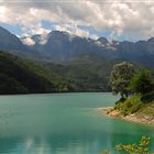
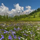
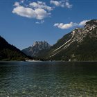
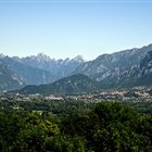
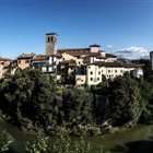
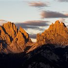
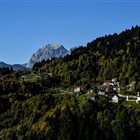
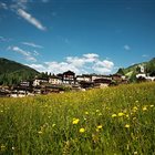
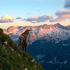
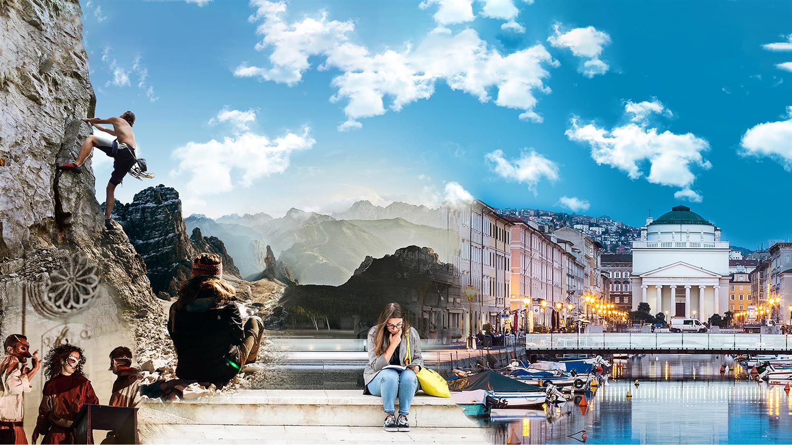
Thousand-year-old cultures, different linguistic strains, biodiversity and multifaceted territorial morphologies. Discover the peculiarities of the valleys, municipalities and areas of the mountains of Friuli Venezia Giulia
Discover the mountain Regions
Thousand-year-old cultures, different linguistic strains, biodiversity and multifaceted territorial morphologies. Discover the peculiarities of the valleys, municipalities and areas of the mountains of Friuli Venezia Giulia
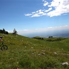
Summer or Winter, it doesn’t matter: skiers, pedestrians, hikers, bicycle lovers or who simply loves to enjoy a panoramic view, but without getting tired, will find open Ski lifts all over the year in the ski areas of FVG
Discover the Ski areas in Friuli Venezia Giulia
Summer or Winter, it doesn’t matter: skiers, pedestrians, hikers, bicycle lovers or who simply loves to enjoy a panoramic view, but without getting tired, will find open Ski lifts all over the year in the ski areas of FVG
Toprecommended route
Hiking trail
· Friuli Venezia Giulia
Responsible for this content Friuli Venezia Giulia
The Start at Piazza Grande
Photo: Azzurra Forti @babytrekking FVG, Azzurra Forti @babytrekking FVG
Selected alternatives for you
A loop trail taking in the ramparts, the moat, the Contromina tunnel, and panoramic views of the star-shaped city of Palmanova
easy
Distance 4.5 km
Duration1:15 h
Ascent48 m
Descent53 m
Highest point34 m
Lowest point20 m
This loop trail starts at Piazza Grande, the heart of the fortress city of Palmanova, and takes you on a tour of the Parco dei Bastioni. Once you pass through Porta Udine, you can choose between two routes. The first descends into the moat at the base of the walls, passing through lush vegetation and skirting a picturesque waterfall with a picnic area. The second follows the upper walkway along the rampart, offering a more shaded path and splendid views of the fortifications and the surrounding landscape. The two routes rejoin at the Contromina Tunnel. Once there, during scheduled opening hours, you can visit this fascinating underground defensive system: an optional experience that offers insight into the military strategies behind the fortress’s defense. The route then continues through the moat to Porta Cividale. After passing through the gate, turn left to reach the Napoleonic Powder Magazine, the Garzoni Bastion—a splendid vantage point overlooking the fortified city—and the ancient Venetian Military Quarter. You then walk along Via Reiner until you reach Borgo Cividale, which leads back to Piazza Grande, completing the loop.
Author’s recommendation
the option to scan QR codes along the route to read interesting information about the fortress city of Palmanova
Author
PromoTurismoFVG Montagna
Responsible for this content
Friuli Venezia Giulia
Difficulty
T1easy
Overall difficulty
easy
Derived from the technical difficulty and the stamina requirements.
There are several picnic areas along the route, each equipped with a table and benches. There is a drinking fountain near Porta Cividale.
Tips and suggestions
There are parking lots in the city of Palmanova that are free indefinitely and require a parking disc (near Piazza Grande). Trail surface: paved sections, dirt sections, and grassy sections
Rest stop
Tip
Nearby
Top Partner
Waypoint
Start point
End point
Low point
High point
Forecast
Today {low} to {high} and {precipitation} of {precipitation_type}
show {x} more
Photo
Video
Palmanova Piazza Grande of Palmanova Historical military museum of Palmanova Palmanova Doge’s Cathedral of Palmanova Town History Museum of Palmanova The three monumental gates of Palmanova Napoleonic powder magazines of Palmanova
Coordinates
DD
45.904730, 13.309866
DMS
45°54'17.0"N 13°18'35.5"E
UTM
33T 368905 5084851
w3w
///compression.donation.drearily
Get there by train, car, bike, or on foot!
Equipment
sportswear
Localization
Parts of this content were machine translated using Italian as the source language
Similar routes nearby
10 thousand steps for health FVG - BAGNARIA ARSA
10 thousand steps of health FVG - SAN VITO AL TORRE, PALMANOVA AND VISCO
10,000 steps for health FVG - AIELLO DEL FRIULI
10 thousand steps of health FVG - BICINICCO
10 thousand steps of health FVG - CAMPOLONGO-TAPOGLIANO
These suggestions were generated by our system
Difficulty
T1easy
Overall difficulty
easy
Derived from the technical difficulty and the stamina requirements.